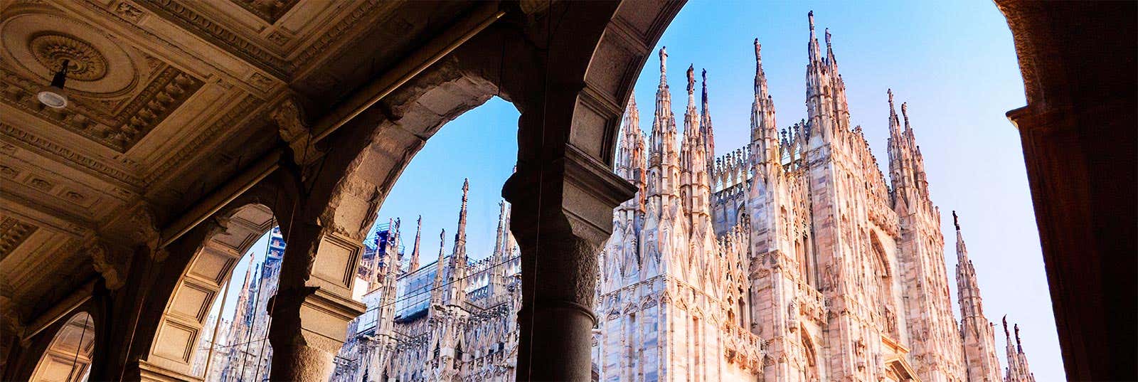
Milan's historic centre is compact and radiates out from the Duomo. Hover a point below to find it on the map, or tap a pin to jump straight to its guide.
How Milan is laid out
Milan is built in rings around the Duomo. The medieval core, the centro storico, holds most of the headline sights — the cathedral, the Galleria Vittorio Emanuele II, La Scala and Piazza Mercanti — all within a ten-minute walk of one another. A ring of avenues follows the line of the old Spanish walls, and the tram network fans out from the centre to the neighbourhoods beyond.
North-west of the centre, the Castello Sforzesco opens onto Parco Sempione, Milan's largest central park. Just north lies Brera, the artists' quarter, with its picture gallery and cobbled lanes full of trattorias — the classic spot for an evening aperitivo. Leonardo's Last Supper sits a little to the west, at Santa Maria delle Grazie.
To the north, around Porta Nuova and Piazza Gae Aulenti, is the modern skyline of glass towers and the vertical forest. South of the centre, the Navigli canals draw crowds after dark for their bars and restaurants. Most visitors base themselves in or near the centre and reach everything else on foot, by tram or on the four metro lines that cross beneath the city.
Must-see sights
Transport hubs
Link the sights on the map into one easy route — on foot with a guide or by open-top bus.